A route that criss-crossed others that I have navigated around here. A mixture of main roads, dull farmland, crossing the Rhine at Wesel and then a disused railway line almost to Schermbeck. Where there is a hotel – scrupulously clean – and four beds crammed into one room and white wine that tastes slightly of vinegar. But never mind: I am clean and fed and the bicycles are safely stabled.
Monthly Archives: September 2024
Nettetal to Kevelaer


From Germany to the Netherlands and back again. We cycled past more of the Nettetal ponds, then an old wartime airfield on the border before joining the Maas at Venlo – a place I associate with changing trains. We cycled north beside the river to Arcen and through the Maasduinen – a sandy ridge between the two countries – back into Germany. Here I stopped to photograph a heather nursery, which was quite striking.
And now we are back in Kevelaer.
Niederkrüchten to Nettetal

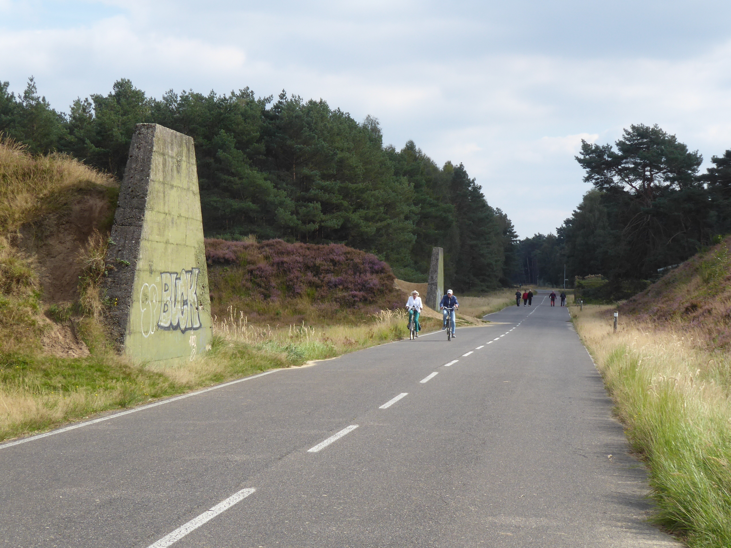
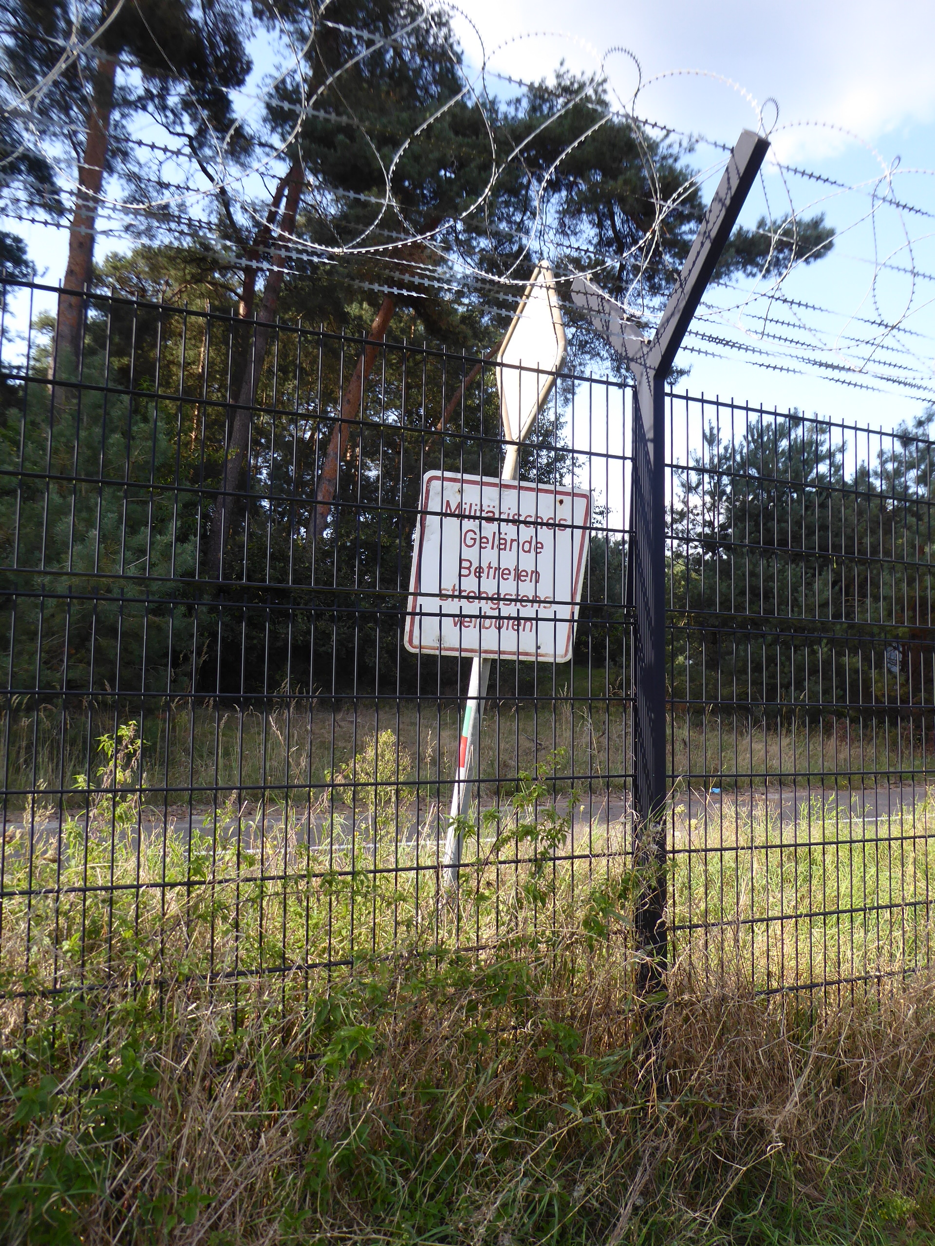
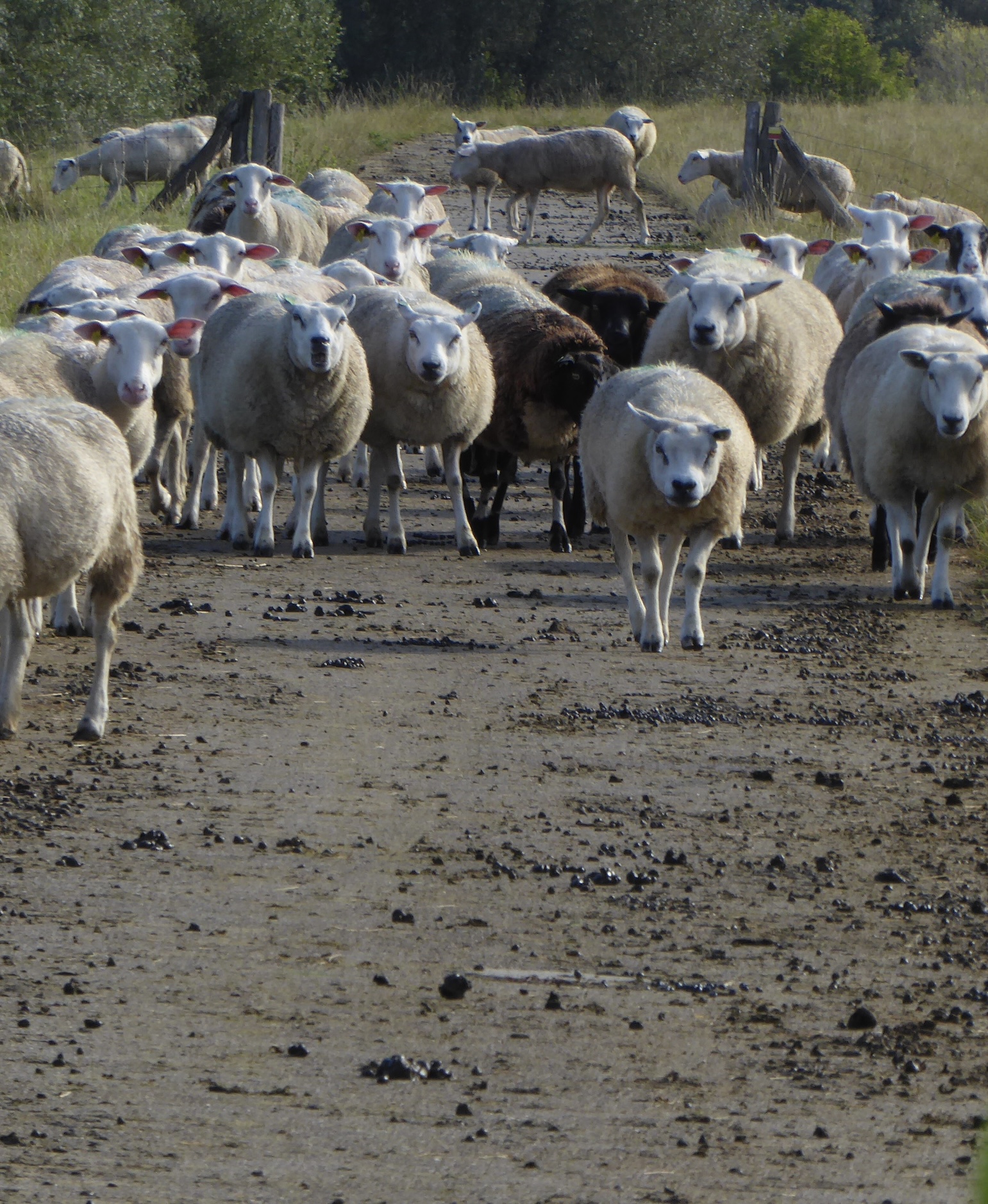
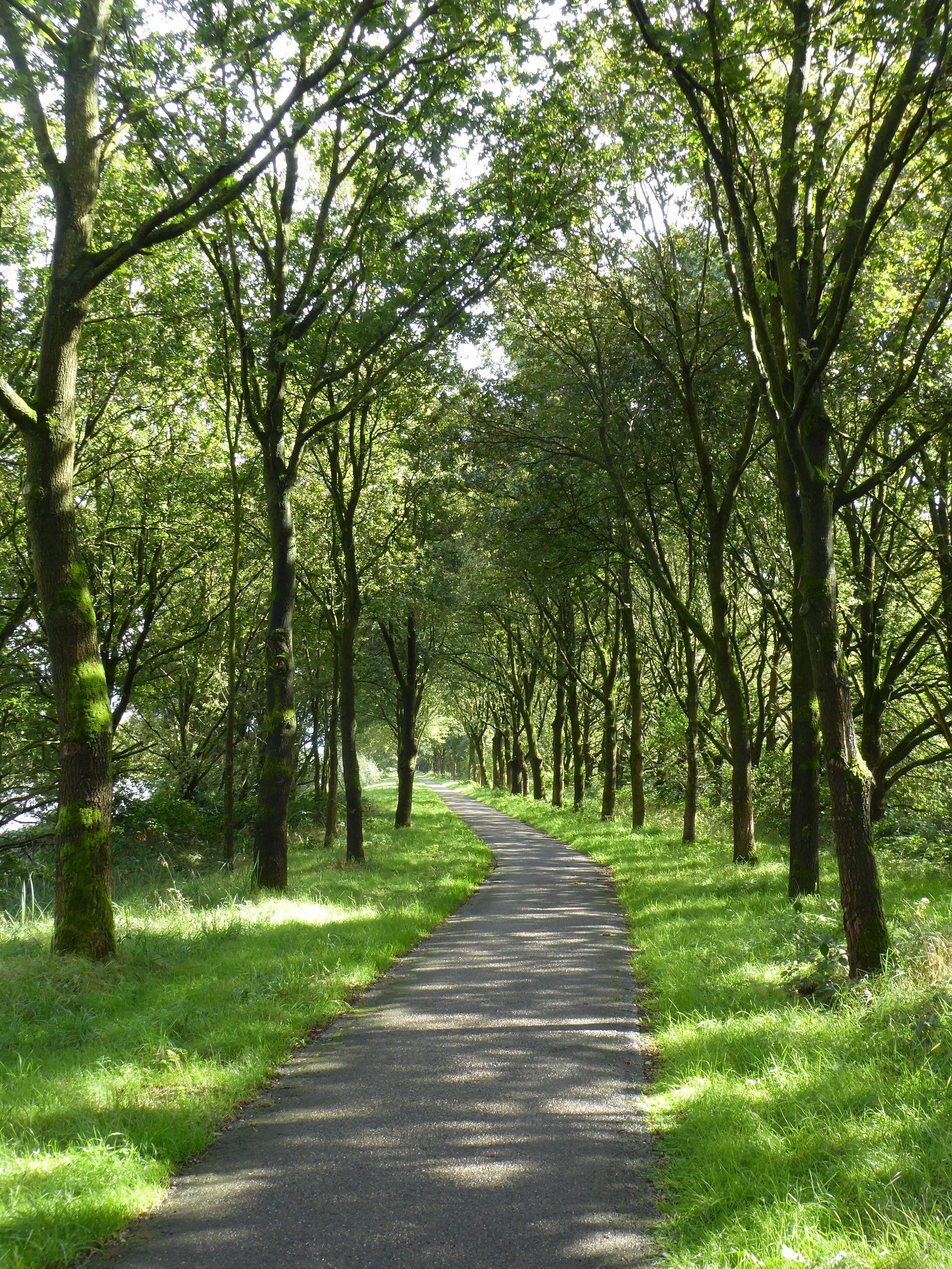
Less than 18km by the direct route, but we managed to turn it into a very slow 44km. The slowness I blame on sandy paths and serendipitous discoveries. We returned to the woods and discovered that the Brachter Wald nature reserve we were cycling through was once the largest ammunition dump of the British Army of the Rhine, and before that a store for the German army’s aviation fuel during WWII. It was vacated in 1996, and active conservation since then, combined with its earlier military restrictions, means that it has a wealth of rare flora and fauna. Some of the fauna must be pretty big: to cross one large area, we had to push our bikes through enormous turnstiles to keep the freilaufende Tiere inside. We saw one fallow deer: with that kind of build-up, I had expected more.
It was a sunny Sunday and lots of people were out cycling, strolling and walking their dogs along roads built for tanks and amongst enormous sand embankments built as shelter walls around the ammo dumps: not quite swords into ploughshares, but close enough.
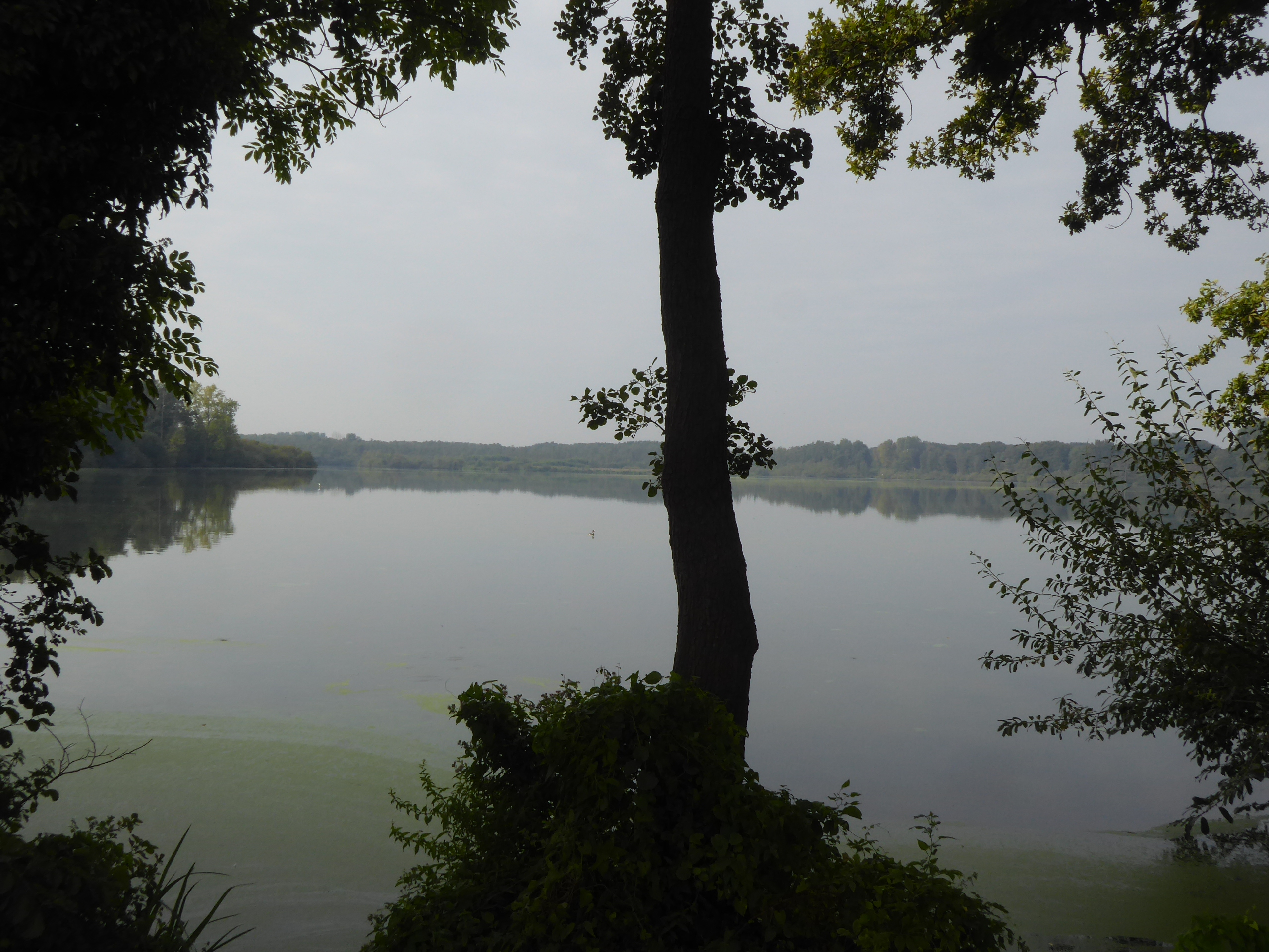
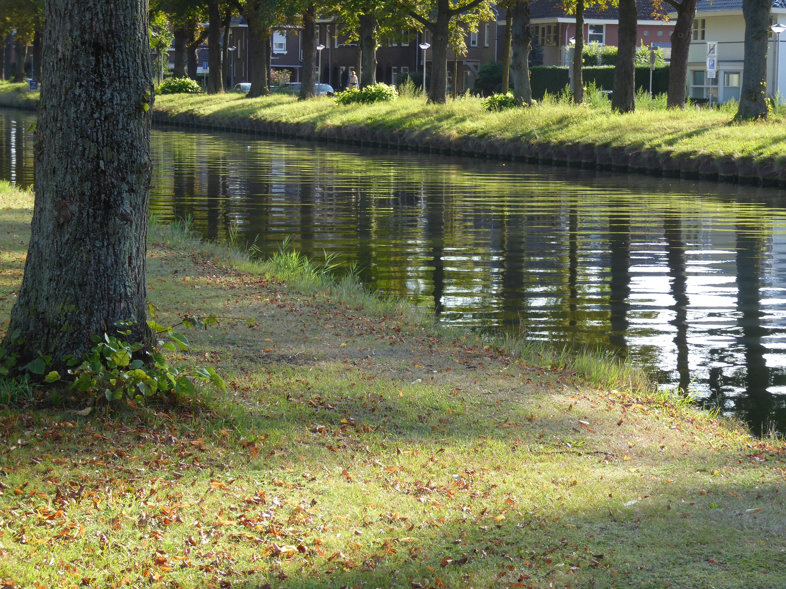
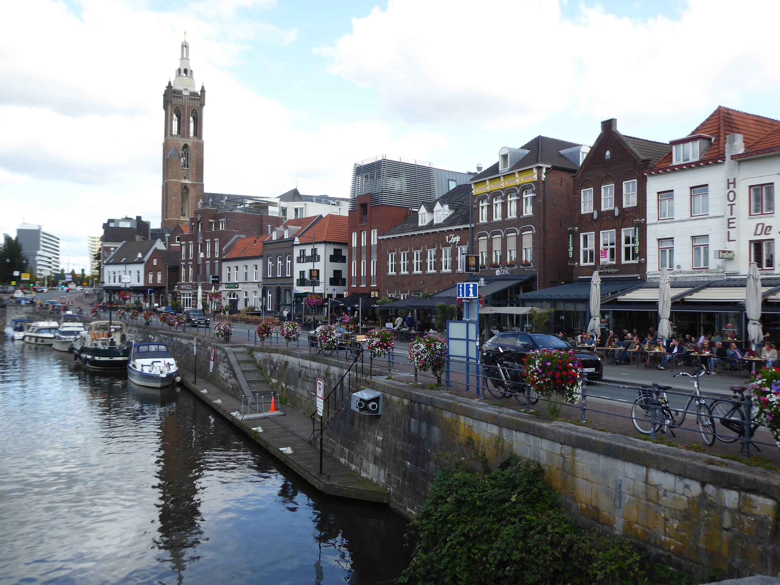
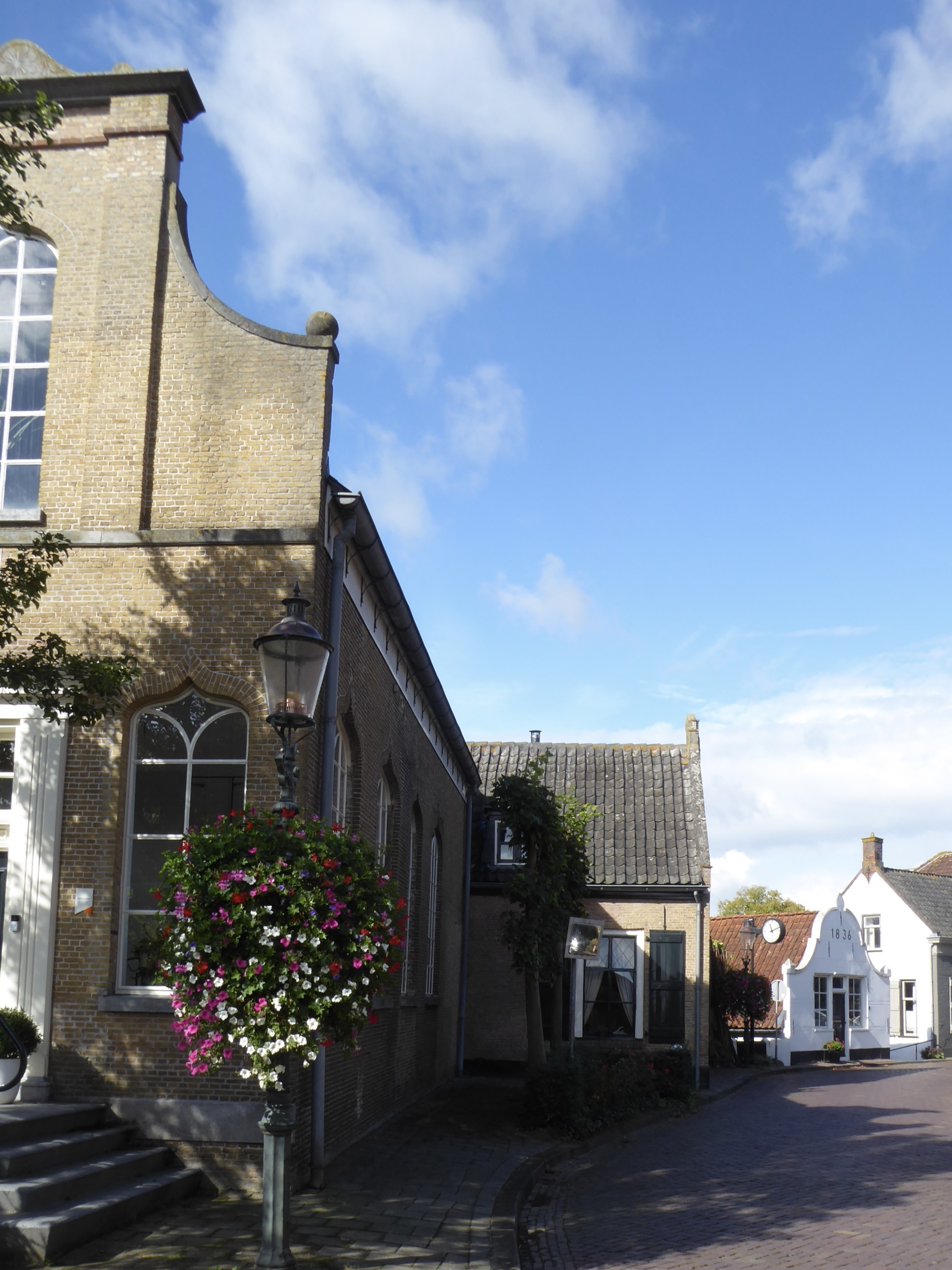
Nettetal just seems to be a collection of small towns clustered around a line of ponds – something to do with former peat-mining? – and the river. It has a hotel: a good enough tourist attraction for us. A good, basic, family-run hotel (the mother and daughter remind me of youth hostel wardens of 40 years ago) that belongs to an earlier time. It once catered for commercial travellers (do they still exist?) and all the other guests are over 70.
Weert to Niederkrüchten
There was a definite autumnal feel to leaving Weert this morning – a chill, a crispness. Through fields – asparagus, spinach beet, maize – to Roermond and then, once over the border, on a very stony path through woods that took all my concentration.
I hadn’t quite realised – I mean, fully taken in – how long the liberation of Europe took. From the D-Day landings in June 1944 to VE Day on 8 May 1945. That’s a very long time to wait for a war to end. We crossed the border east of Roermond and came across a memorial to men in this still-occupied part of the Netherlands shot for evading the forced conscription of labour by the Nazis in December 1944. I recalled visiting Otterlo, where the last battle in the Netherlands between the Allied forces and the Nazis took place in April 1945. It also links to the former Javelin barracks that we passed as we left the wood: an RAF base in the decades after the war.


Baarschot to Weert
North Brabant seems big on dairy. It’s also a Catholic area. These are the two facts that I picked up as we threaded our way through fields and woods, with a coffee stop in Valkenswaard. I took no photos since there was nothing that particularly caught my eye. There may be something in Weert, but my hotel and route choices were so flawless that we entered Weert right by the hotel and leave it tomorrow by the canal I can see from my window.
But, my goodness, I am slow! Even on the flat in good conditions I may bowl along at only 15 or 16 kph. My average speed for the day is something like 12 or 13 kph. I don’t push against the pedals and I have little momentum. Once upon a time we zoomed along German river valleys at 18 or 19 kph. It really doesn’t matter: I just keep turning the pedals and adjust the day’s expected distance accordingly. It’s not as if I don’t know that I don’t grow any younger.
Lage Zwaluwe to Baarschot
I noticed that there was also a Hooge Zwaluwe nearby – so I deduce they are “Lower” and “Upper” Zwaluwe. A less ferocious tailwind (boo!) but drier and sunnier (hurray!) than yesterday. The first part of the day was along the river on a high path dodging gangs of nonchalant sheep. Then through Oosterhout (great roundabout) and Dongen to the Wilhelminakanaal, which enabled us to skirt Tilburg without needing to navigate. It also gave us a very different impression of Dutch cycling: no longer gentle pootling but – now that e-bikes are so common and so various – more like a speedway circuit. The cycle paths are being upgraded; I was tempted to compare it to dualling the A1 or adding an extra lane to the M25.


I never know, when cycling in the Netherlands, if the next town or village will be modern or old. Whether there will be a shopping centre that suggests the high point of the 1960s still live or if there will be shapely gables and shutters just as if Vermeer painted them. Sometimes the two co-exist, as in Oosterhout.
Europoort to Lage Zwaluwe


My photographs give a misleading impression: there was as much rain as sunshine and as much greenery as petro-chemical plants. In avoiding ferries to cross waterways, we sampled a variety of Dutch civil engineering: three bridges and two tunnels. Our second breakfast was in Hoogvliet: a small Milton Keynes where the shopping centre replaced the church/market place/town hall trinity. Nice to be back in the Netherlands – and with a tailwind.